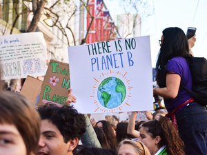
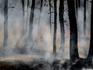
🔥 California's Wildfire Map Reveals the Climate Crisis is Literally Playing with Fire
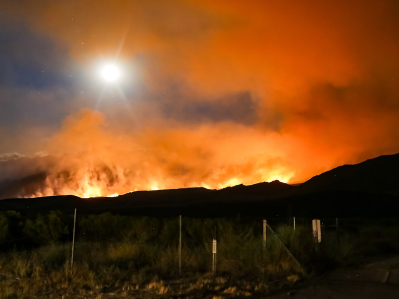
Photo by Ross Stone on Unsplash
Buckle up, Bay Area fam - California’s wildfire landscape is about to get real, and not in a cool way. State fire officials just dropped a bombshell map that basically screams “climate change is coming for our wine country, and it ain’t playing nice”.
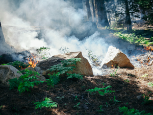
The newly released Cal Fire hazard maps are like a dystopian PSA, revealing a staggering 6.8 million acres of potential fire zones across the Golden State. And get this - the “very high hazard” areas have exploded by 35% since the last maps in 2007. Yikes.
Wine Country’s Burning Transformation
Napa and Sonoma counties are taking the biggest hit, with picturesque towns like Yountville and St. Helena now classified as high-risk fire zones. Remember when the biggest worry in wine country was finding the perfect Cabernet? Those days are officially over.
What This Means for Homeowners
If you’re living in these fire-prone areas, it’s time to get serious about home protection. State law now requires homeowners to clear brush within 100 feet of their homes, and new building regulations are stricter than your boomer parents’ dating rules.
Climate Change: The Uninvited Guest
State Fire Marshal Daniel Berlant is basically saying what we’re all thinking: climate change is turning California into a potential tinderbox. With more areas now considered fire-risk zones, it’s clear that this isn’t just about protecting property - it’s about survival.
So, Bay Area residents, consider this your wake-up call. Time to get proactive, stay informed, and maybe invest in some seriously good fire insurance.
AUTHOR: kg
SOURCE: ABC7 News