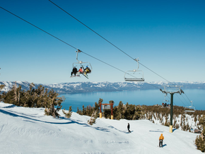
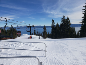
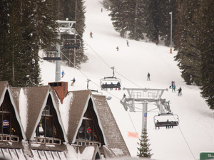
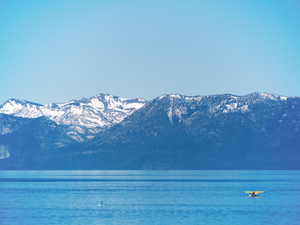
First Snowflakes: Tahoe's Early Winter Whispers
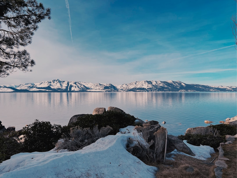
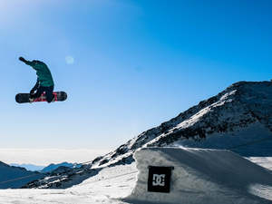
Winter’s first teaser is peeking over the Sierra Nevada, and ski bums, take note: light snow might dust the high-altitude peaks before Northern California cranks up the heat. According to weather models, Friday could serve up a delicate snow appetizer, primarily blanketing areas above 7,500 feet, which means Tahoe ski resort summits are in for a chilly preview.
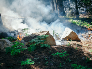
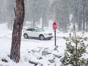
The incoming weather system is bringing more than just potential snow. A cold front swept through Northern California, dropping a respectable half-inch of rain across San Jose, Hayward, and Livermore, with even more precipitation gracing the Sierra Nevada. While the weekend promises to dry out, there’s one last meteorological hurrah in store.
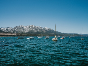
Mountain Forecast: Snow and Sunshine
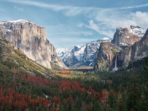
Friday’s precipitation might arrive as snow, potentially accumulating a few inches at Tahoe’s highest elevations. Yosemite National Park and Mammoth could see even more snowfall, though the showers will be unpredictable. This isn’t a major winter storm, but rather a tantalizing glimpse of the season to come.
Weekend Weather Shift
As the low-pressure system drifts toward Nevada, Northern California will transition to sunnier, warmer conditions. Temperatures are expected to rebound, approaching 80 degrees in valley regions, still slightly cooler than typical early October norms. San Francisco and Oakland should see temperatures climbing into the 70s.
Looking Ahead
Early next week looks warmer and drier, but weather enthusiasts shouldn’t get too comfortable. Rain might return later in the week as the wet season begins to kick into gear along the West Coast.
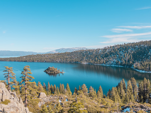
For now, mountain lovers can enjoy this brief snow-dusted preview, a meteorological postcard promising winter adventures are just around the corner.
AUTHOR: kg
SOURCE: SF Chronicle