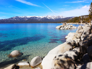
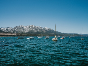
Tahoe's Snowmageddon: Why This Year's Snowmelt Could Be a Wild Ride
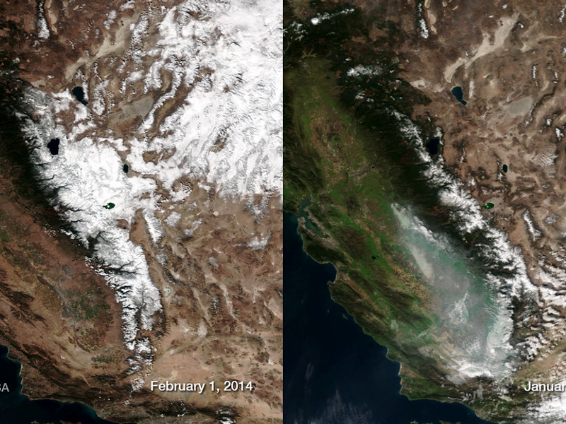
Photo by NOAASatellites | License
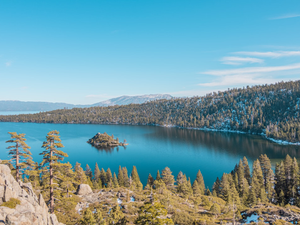
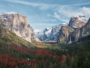
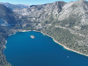
Buckle up, snow nerds and adventure seekers, this year’s Sierra Nevada snowpack is about to unleash some serious water drama. With a jaw-dropping 235% of the average snowpack, we’re looking at a melt that could make your typical spring runoff look like a kiddie pool splash.
The southern Sierra is sitting on three times the usual snow, which means rivers are about to get seriously spicy. Climate scientists like Daniel Swain from UCLA are warning that more than 90% of this epic snowpack hasn’t even started melting yet. Translation? We’re in for a prolonged flood fest that could stretch well into early June.
The Warming Wildcard
As temperatures creep into the upper 50s and lower 60s, atmospheric scientist Benjamin Hatchett predicts a gradual but intense snowmelt. While this weekend might offer a gentle preview, next week could see rapid liquefaction of our mountain’s massive white blanket.
Flood Zones to Watch
If you’re planning any river adventures, pay attention. The western Sierra slope, San Joaquin Valley, Tulare Lake, and areas around Owens Valley are prime flood candidates. The Merced River and Carson River’s west fork could hit flood stage by early May, so maybe skip that riverside camping trip.
The Silver Lining
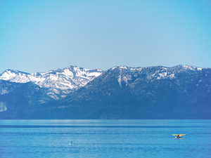
Good news for Bay Area residents: your local terrain is flood-free. But for Tahoe locals and weekend warriors, this snowmelt is going to be one hell of a hydrological show.
So grab your waterproof gear, keep an eye on local river conditions, and get ready for nature’s most epic spring transformation. This isn’t just snowmelt, it’s a full-on water spectacle.
AUTHOR: pw
SOURCE: SFist